

High Resolution Aerial Mapping
Our High-Resolution Aerial Mapping service is designed for landowners, farmers, ranchers, hunters, developers, conservation organizations, engineers, survey support professionals, and businesses that need accurate, up-to-date aerial imagery of their property. Whether you're planning habitat improvements, managing agricultural land, designing infrastructure, or documenting existing conditions, our mapping solutions provide the detailed aerial perspective needed to make informed decisions.
How the Process Works
Contact us to discuss your project goals and mapping requirements.
Provide the property location, acreage, and desired deliverables.
Our FAA-certified pilot develops a customized flight plan to ensure complete coverage of the project area.
The property is flown using automated mapping software that captures hundreds or thousands of overlapping high-resolution images.
The imagery is processed using professional photogrammetry software to create accurate mapping products.
Final deliverables are reviewed for quality and provided in digital formats suitable for viewing and planning.
Information We Need to Start your Mission
Contact information
Property address or GPS coordinates
Approximate acreage
Property boundaries (if available)
Intended use of the mapping data
Desired deliverables
Site access instructions
Permission to operate on the property
Typical Service Area
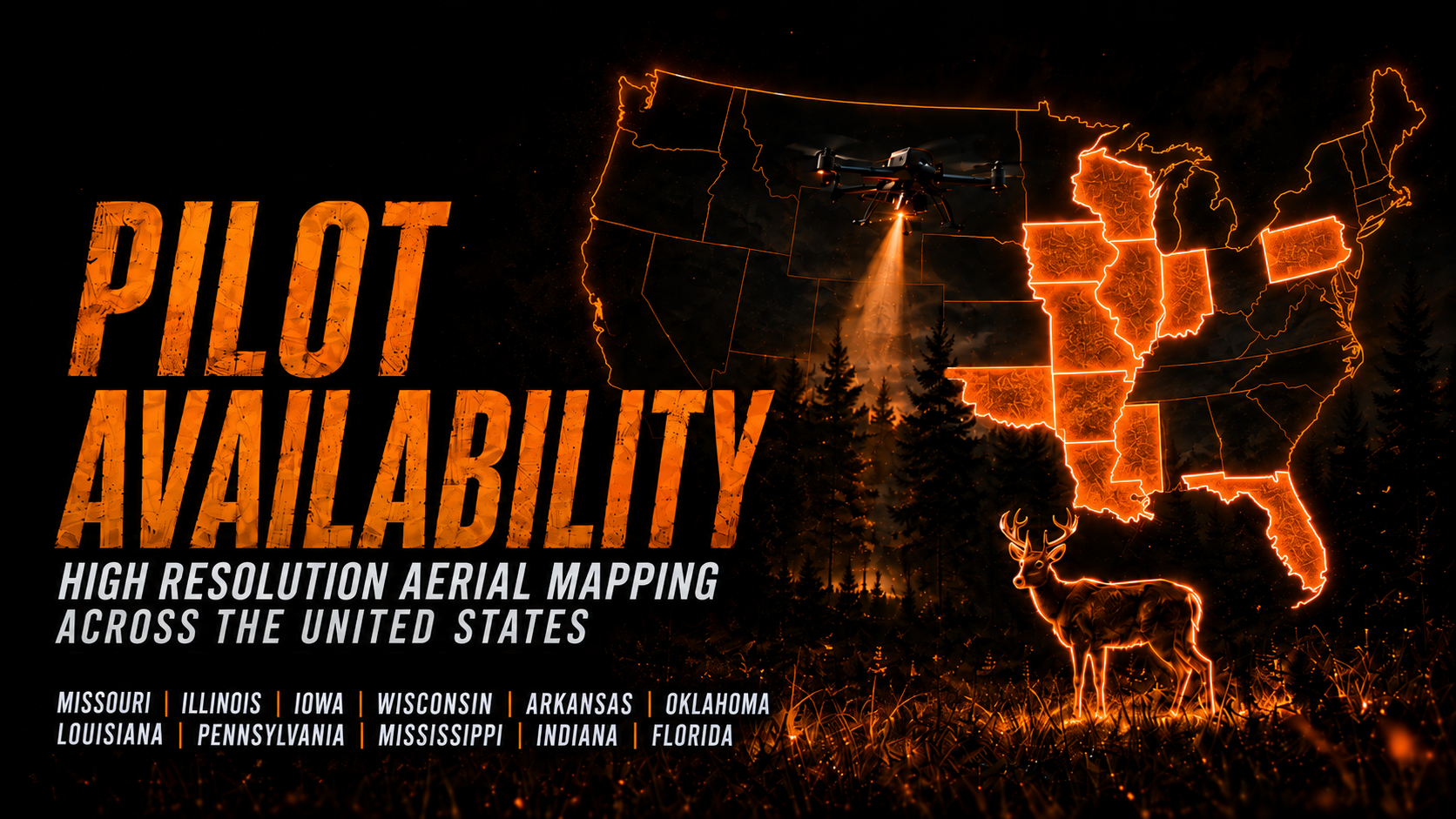
Wicked Wing Drone Services provides High-Resolution Aerial Mapping throughout the United States, subject to scheduling, FAA airspace regulations, and local operating requirements. Currently we have pilots operating in Missouri, Illinois, Iowa, Wisconsin, Arkansas, Oklahoma, Louisiana, Pennsylvania, Mississippi, Florida, Indiana
Travel costs vary depending on the project location and size. Projects outside our standard operating radius may require additional travel expenses, including mileage, airfare, lodging, rental vehicles, or other necessary travel costs. All travel-related fees will be discussed and approved before scheduling.
Frequently Asked Questions
-
An orthomosaic is a high-resolution aerial image created by stitching together hundreds or thousands of overlapping photographs into one geometrically accurate map.
-
Our mapping products provide highly accurate aerial imagery suitable for planning, management, and documentation. Accuracy varies depending on project requirements and whether ground control points are used.
-
Yes. We routinely map properties ranging from small residential lots to farms, ranches, hunting properties, commercial developments, and projects covering several thousand acres.
-
Deliverables are provided in PDF format, making them easy to view, share, print, and use for planning and documentation.
-
Processing time depends on the size and complexity of the project. Most projects are completed within several business days after the flight.
-
No. While aerial mapping provides highly accurate visual data, it does not replace a legal boundary survey performed by a licensed land surveyor.
Expected Deliverables
High-resolution orthomosaic aerial maps
True-color aerial imagery
High-resolution digital image files
Property overview maps
CAD-compatible files (when applicable)
Digital files suitable for planning, engineering, agriculture, conservation, hunting property management, and land development