

Advanced Herd Analysis
Our Deer Herd Survey service is designed for landowners, hunters, hunting lease managers, outfitters, and wildlife managers who want a comprehensive understanding of the deer population and how deer utilize their property. Whether your goal is improving hunting success, making informed harvest decisions, or enhancing habitat management, our thermal drone surveys provide valuable data that traditional scouting methods often miss.
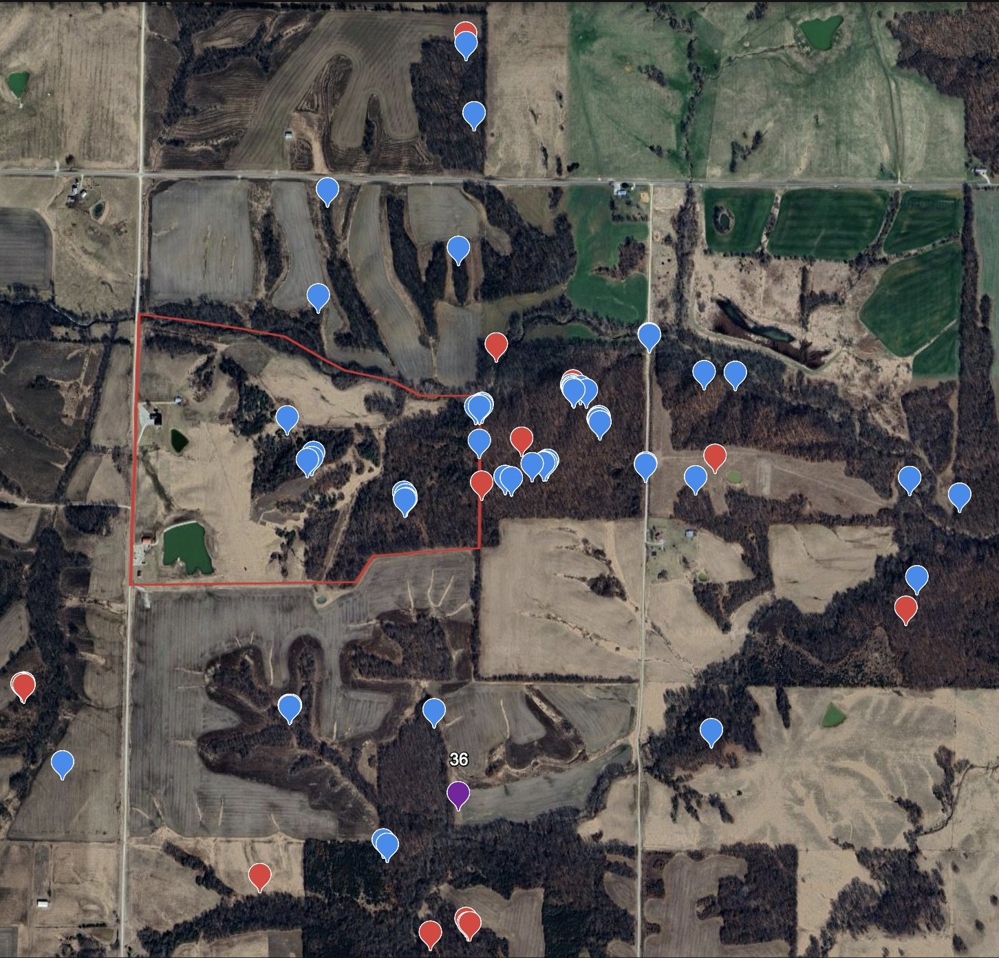
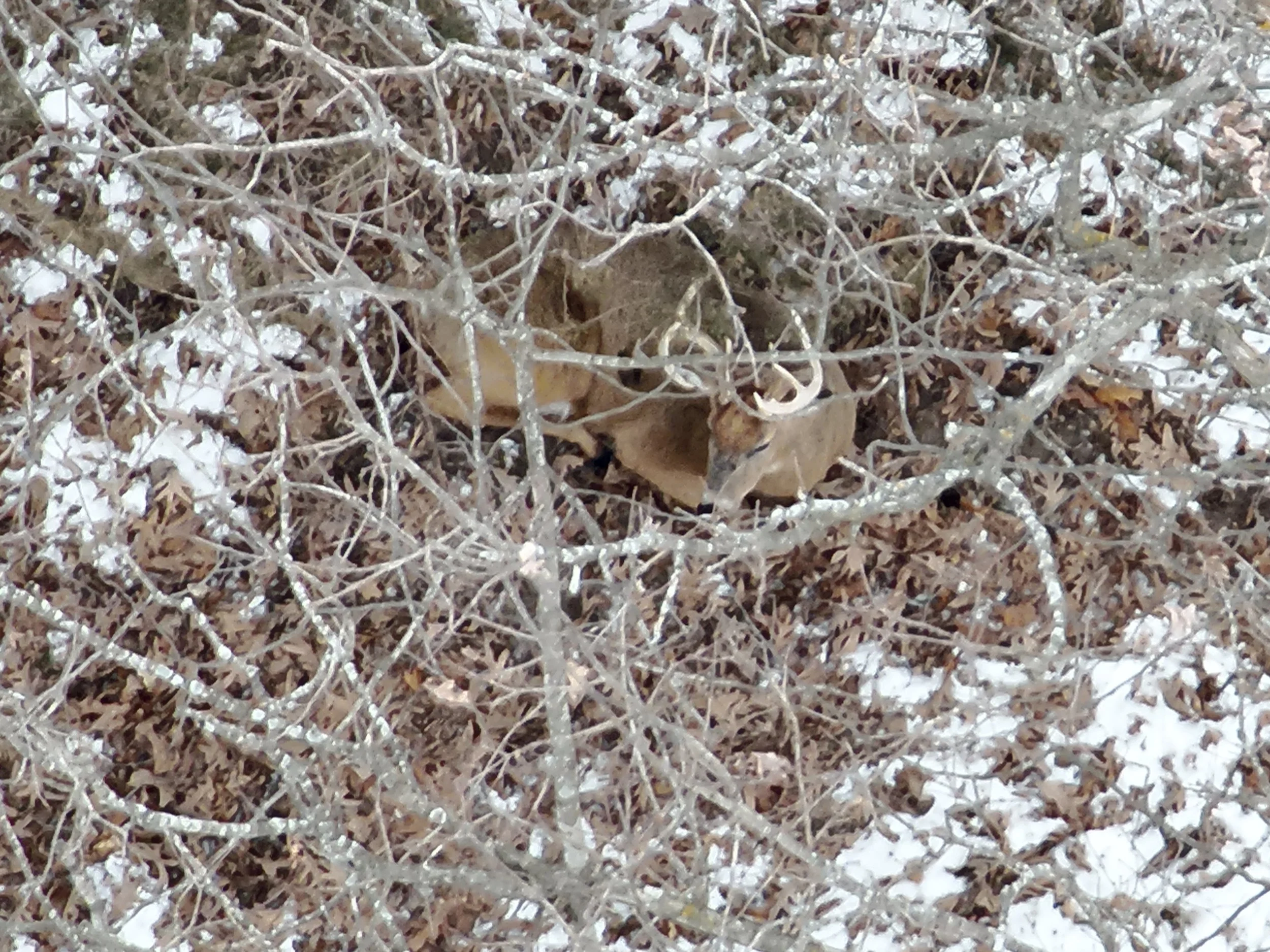
How the Process Works
Schedule a herd survey during optimal seasonal and weather conditions.
Discuss your property goals, hunting objectives, and any specific areas of interest.
Our FAA-certified pilot conducts a systematic thermal drone survey using pre-planned flight paths to maximize property coverage.
Thermal imagery is reviewed to identify and document deer observations across the property.
Data is analyzed to estimate herd numbers, identify deer concentrations, and evaluate habitat usage.
A detailed report and aerial property assessment are provided with management recommendations.
Information We Need to Start your Mission
Landowner or client contact information
Property address or GPS coordinates
Total property acreage
Property boundaries or GIS files (if available)
Hunting and management objectives
Areas of concern or interest
Access instructions for the property
Permission to operate on the property
Typical Service Area
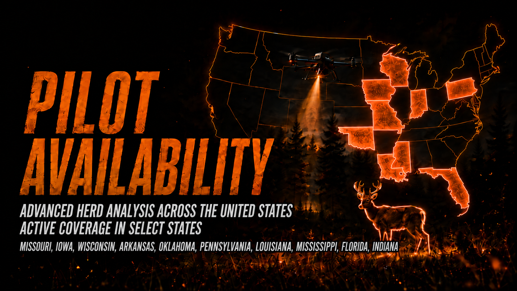
Wicked Wing Drone Services provides Deer Herd Surveys throughout the United States, subject to scheduling, FAA airspace regulations, and local operating requirements.
Travel costs vary depending on the location of the property and project size. For properties outside our standard operating radius, travel expenses such as mileage, airfare, lodging, rental vehicles, or other necessary costs may apply. Any travel-related charges will be discussed and approved before scheduling.
Frequently Asked Questions
-
Thermal drone surveys provide one of the most effective methods available for estimating deer populations. While no survey can guarantee an exact count, thermal technology significantly improves accuracy compared to traditional observation methods.
-
We recommend our staggered three-flight package to provide a much clearer picture of how deer utilize your property over time. Conducting surveys at different points in the season captures changes in movement, bedding, feeding patterns, and overall property use that a single survey may miss.
-
Late winter through early spring typically offers excellent conditions due to reduced vegetation and improved thermal contrast. Surveys can also be scheduled at other times of the year depending on your management goals.
-
We can survey properties ranging from small hunting farms to several thousand acres. Survey planning is customized based on acreage, terrain, and project objectives.
-
In most cases, deer show very little reaction to drones operating at survey altitudes. Flights are conducted to minimize disturbance while collecting accurate data.
Expected Deliverables
A professional thermal aerial survey of the property
Estimated deer population
Deer distribution across the property
Identification of high-use areas
Heat maps or aerial overlays showing deer observations (when applicable)
High-resolution aerial imagery of the property
A written summary of findings
Wildlife management and hunting recommendations based on survey results